
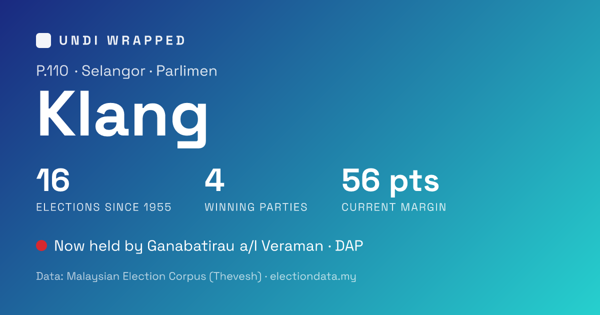
Your Malaysian seat, every election since 1955 — wrapped. A Spotify-Wrapped-style card stack for any of Malaysia's 222 parliamentary and 600 state constituencies: the founding party, the dynasties, the biggest swings, the closest calls, and how marginal your seat is right now.
🔗 Live: https://zachtheyek.github.io/undi-wrapped/
All underlying data is the Malaysian Election Corpus (MECo) by Thevesh Thevananthan — released under CC0. This project only visualises that corpus. It is not affiliated with the author.
- Data & API: electiondata.my
- Corpus: github.com/Thevesh/paper-meco-results
- Paper: The Malaysian Election Corpus (MECo), Scientific Data 13, 190 (2026)
- Instagram-stories navigation. Auto-advancing cards with a countdown progress bar; tap the screen edges or use ◀ ▶ arrow keys; hold the screen or hit the pause button to stop the timer.
- An animated constituency boundary on the cover, morphing through every delimitation the seat lived through (1954–2019), built from MECo's electoral maps.
- Official party & coalition logos on the roll-call, dynasty and head-to-head cards.
- Head-to-head infographics for the biggest swing (the previous election stacked above the one it swung to) and the closest-ever race — logos on each side, a party-coloured vote-share bar in the middle.
- One search box, no login, mobile-first. Works one-handed in five seconds.
- A permalink per seat (
/seat/<slug>/) with a pre-rendered Open Graph card. - Compare mode — put your seat head-to-head with a friend's on coloured metric bars, and swap the compared seat in place at any time.
- Fully static — 822 seat pages + OG images generated at build time.
- Seat threading. Malaysian seat identity is not stable across delimitations: numbers are reassigned, names change, and a seat can even keep its name while its boundaries are wholly replaced — pre-2003 P.190 Tawau has zero overlap with today's Tawau (its real ancestor is the old Semporna). So we thread each seat's history by electiondata.my's boundary-based dominant-ancestor lineage, not by name, so every "Wrapped" follows the true line of descent. A split ancestor is legitimately shared by its descendants (1959 Damansara feeds 11 modern KL/Selangor seats). Lineage from electiondata.my (CC0).
- "Current" seats = those contested in the most recent election (GE-15 for federal; the latest state election per state).
- Biggest swing = the largest absolute change in the winning party's vote share between consecutive contests at that seat.
- Marginality rank = rank by latest winning margin among current seats of the same type.
- Boundary animation. The animated outline now follows the same lineage as the data: at each delimitation it draws the seat's lineage ancestor active in that period — the name is read straight from the seat's timeline, not guessed from the current name — so e.g. Tawau correctly shows the old Semporna shape for its 1984/1994 frames. The map frames remain a separate, manually-refreshed feed (see "data freshness"), so they can still lag the latest delimitation, but they no longer contradict the lineage-threaded history above. 821 / 822 seats have at least one frame.
- Candidate photos. There is no public dataset of official candidate portraits keyed to the time each person was elected — across 14k candidates and seven decades it simply doesn't exist, and auto-matching faces risks showing the wrong person. We therefore identify each rep by name only, never a photo.
- Logos are the official party/coalition marks served by electiondata.my (
<uid>.png), self-hosted here. Historical logo variants "at the time" aren't available as data, so the current/canonical mark is used. - electiondata.my link. electiondata.my's seats page selects seats purely client-side with no URL parameter, so a link cannot pre-populate a specific seat — the "Explore on electiondata.my" button opens the seats explorer, where you search the seat yourself.
npm install
npm run data        # regenerate public/data/ from ../meco-data/out (needs the foundation + Python)
npm run boundaries  # fetch the latest electoral maps from the lake + rebuild public/boundaries/
npm run dev         # local dev
npm run build       # vite build + 822 OG cards (satori) + per-seat prerender → dist/
public/boundaries/ and public/logos/ are committed (external assets, rarely change);
public/data/ is git-ignored and generated — locally by npm run data, in CI by the
deploy workflow (which installs Python + clones the foundation). Boundaries are built from
MECo's electoral-map GeoJSONs; logos are sourced from electiondata.my (CC0 data; logos are
party trademarks used informationally).
Per-seat data is generated in CI, not committed: the deploy workflow
(.github/workflows/deploy.yml) clones the
meco-data foundation, runs build_data.py, and
builds. Every push deploys; a weekly run rebuilds only when the MECo data actually
changed since the last deploy (stamped in dist/data-version.txt), so the site tracks
upstream corrections and new results on its own — and does nothing on a quiet week. The
corpus itself auto-refreshes upstream in meco-data, so the whole chain is hands-off.
(Local one-liner to regenerate seat data from ../meco-data/out: npm run data.)
Boundaries are deliberately not on a schedule. Unlike results — which change at every
by-election — constituency boundaries only move at a redelineation: a roughly once-a-decade,
publicly-gazetted event (the last federal one completed in 2018, and the Constitution bars
another within 8 years of the last). Nor is it a passive feed — the delimitation years are
hard-coded in boundary_build.py's REGION_YEARS, and a redelineation splits, merges and
renames seats, which is exactly when the (state, normalised name) frame-matching needs a
human to sanity-check it. A blind weekly cron would re-download tens of MB to find nothing
~every time, and could half-update the site at the one moment care is actually needed. So a
refresh is a single manual command:
npm run boundaries             # fetches the latest maps from the lake + rebuilds public/boundaries/
git status public/boundaries   # any diff = the maps drifted upstream; commit it to publish
(If a brand-new delimitation has been gazetted, add its year to REGION_YEARS first.)
Think a seat's boundaries look out of date?
Open an issue and we'll rerun the refresh.
Part of a family of civic data-viz tools built on the Malaysian Election Corpus:
- Lompat — every party-hop since 1955, and the leaderboard of "frogs"
- Salasilah — the family tree of Malaysia's parties & coalitions
- Nadi Demokrasi — the health of the democracy in fourteen indicators
- Undi Lain — re-run past elections under different voting systems
- Undi Generasi — how Malaysia votes across generations
Code: MIT. Data: CC0 (MECo / Thevesh Thevananthan).